
Shaping the Future of
Aerial Imaging
Our Services

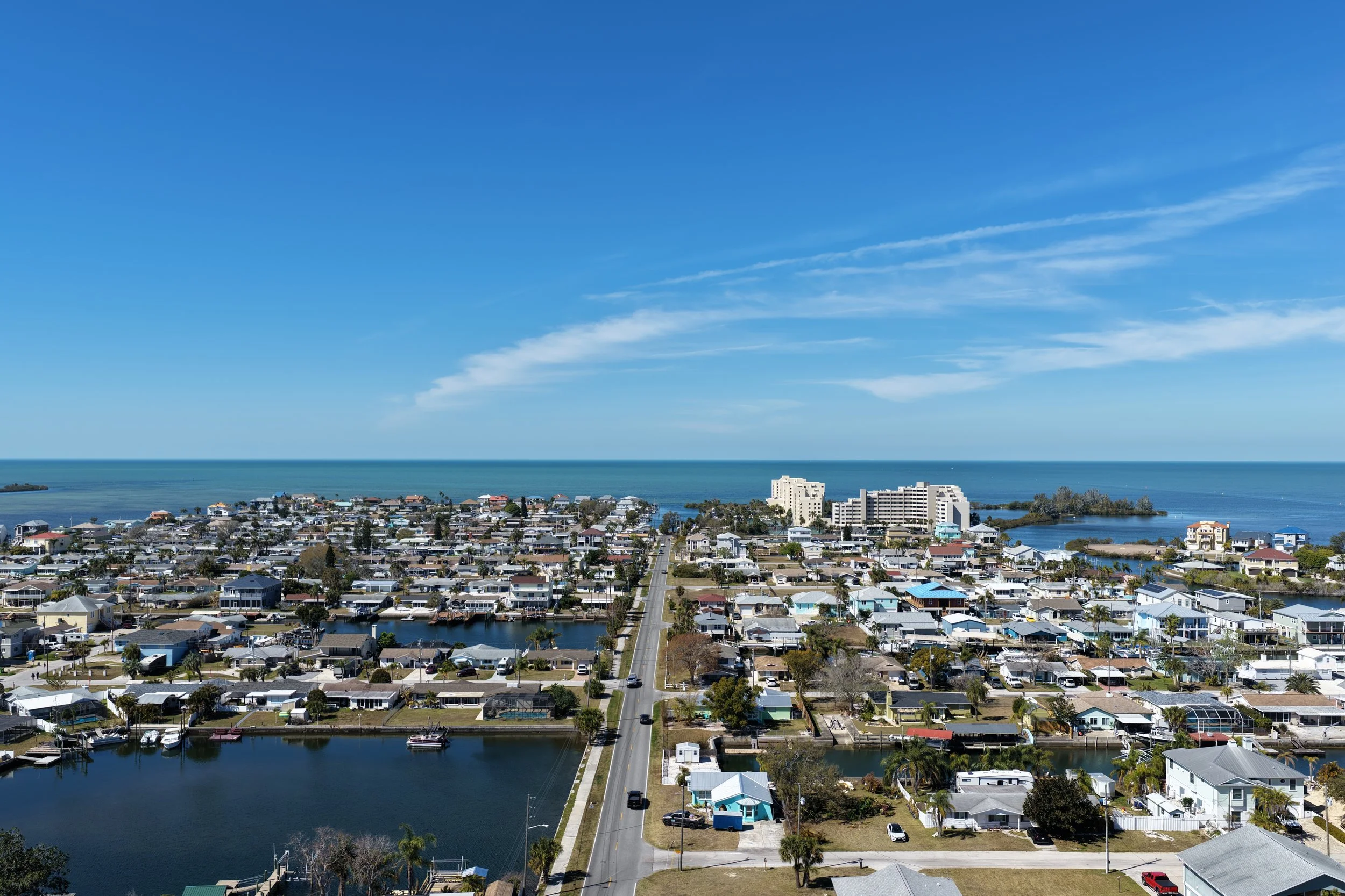
Aerial Photography:
High‑resolution imagery for real estate and marketing.
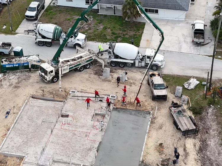
Construction Mapping:
Orthomosaic images, 3D models, and site progression.
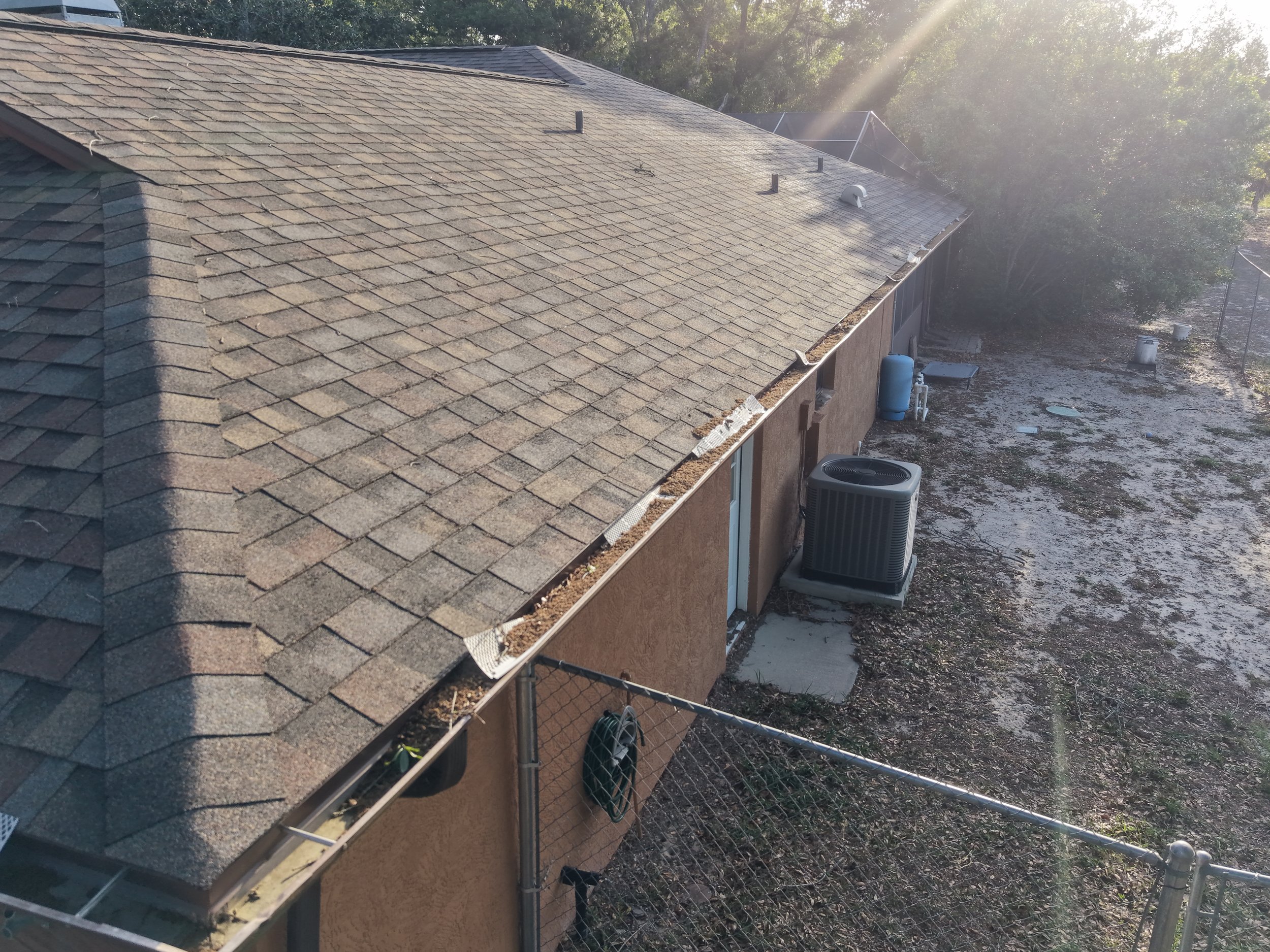
Inspections:
Roof, utilities, and infrastructure inspections
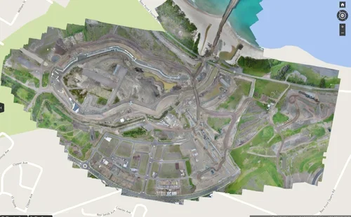
Advanced Data Capture:
LiDAR, thermal, multispectral, and geospatial data.
Industries We Serve
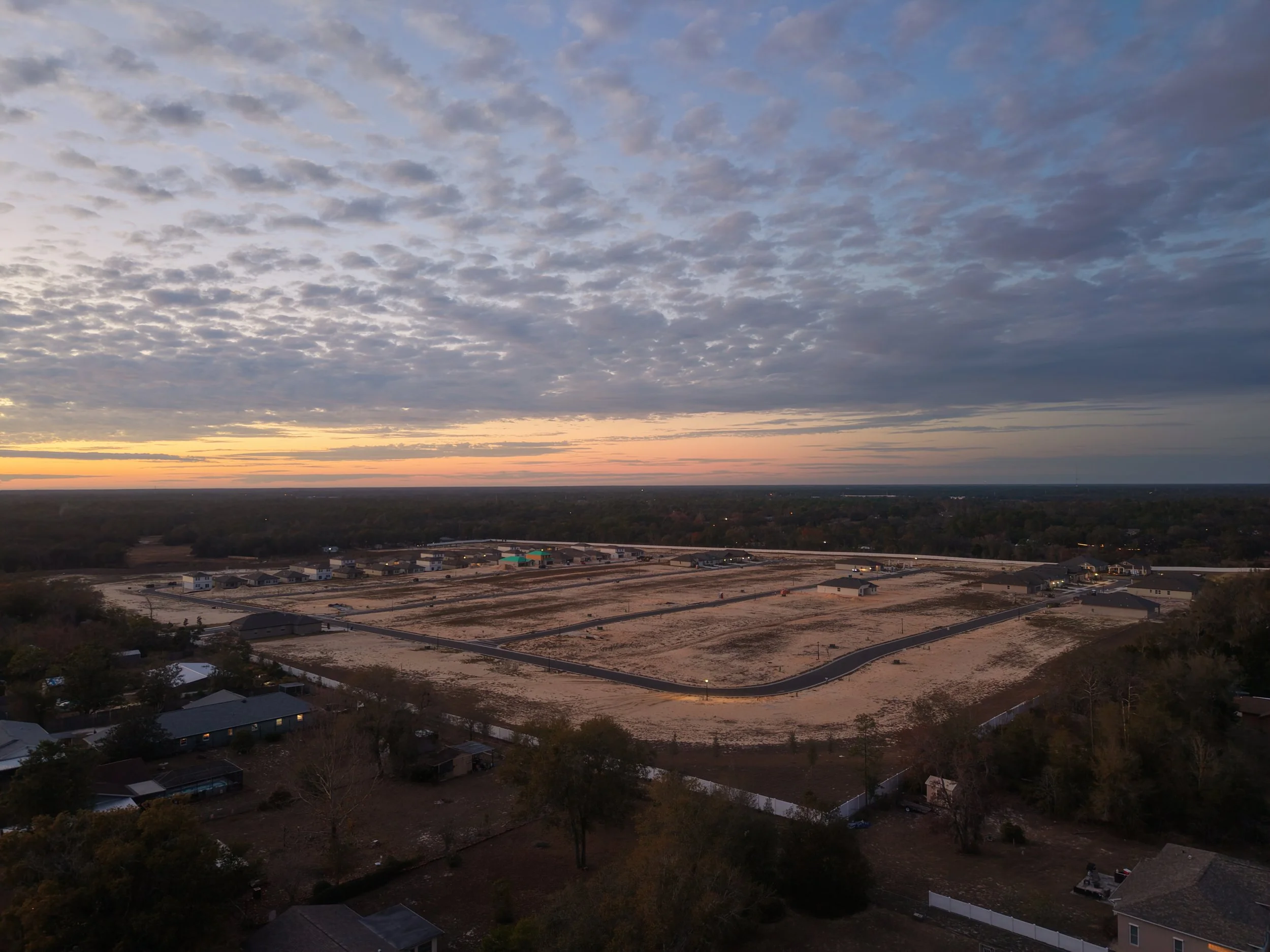
Construction
Jobsite monitoring, progress documentation, and reporting.

Marketing
Campaign visuals, brand storytelling, and promotions.
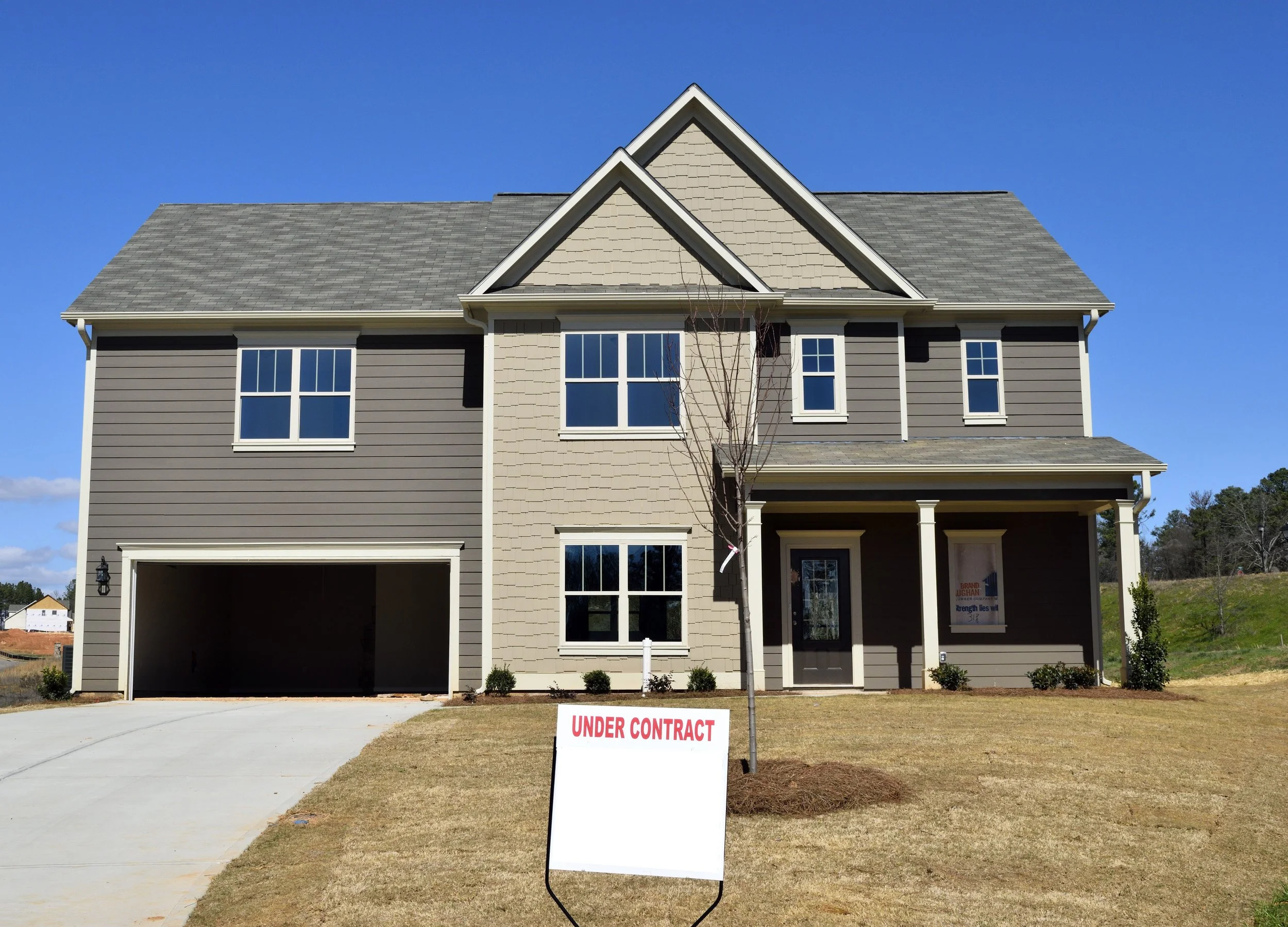
Real Estate
Listing visuals, property overviews, and marketing media.
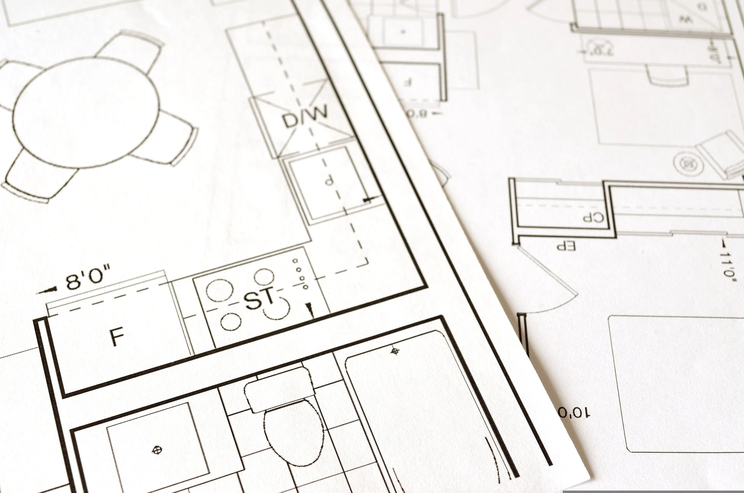
Engineering
Survey support, site analysis, and planning visuals.
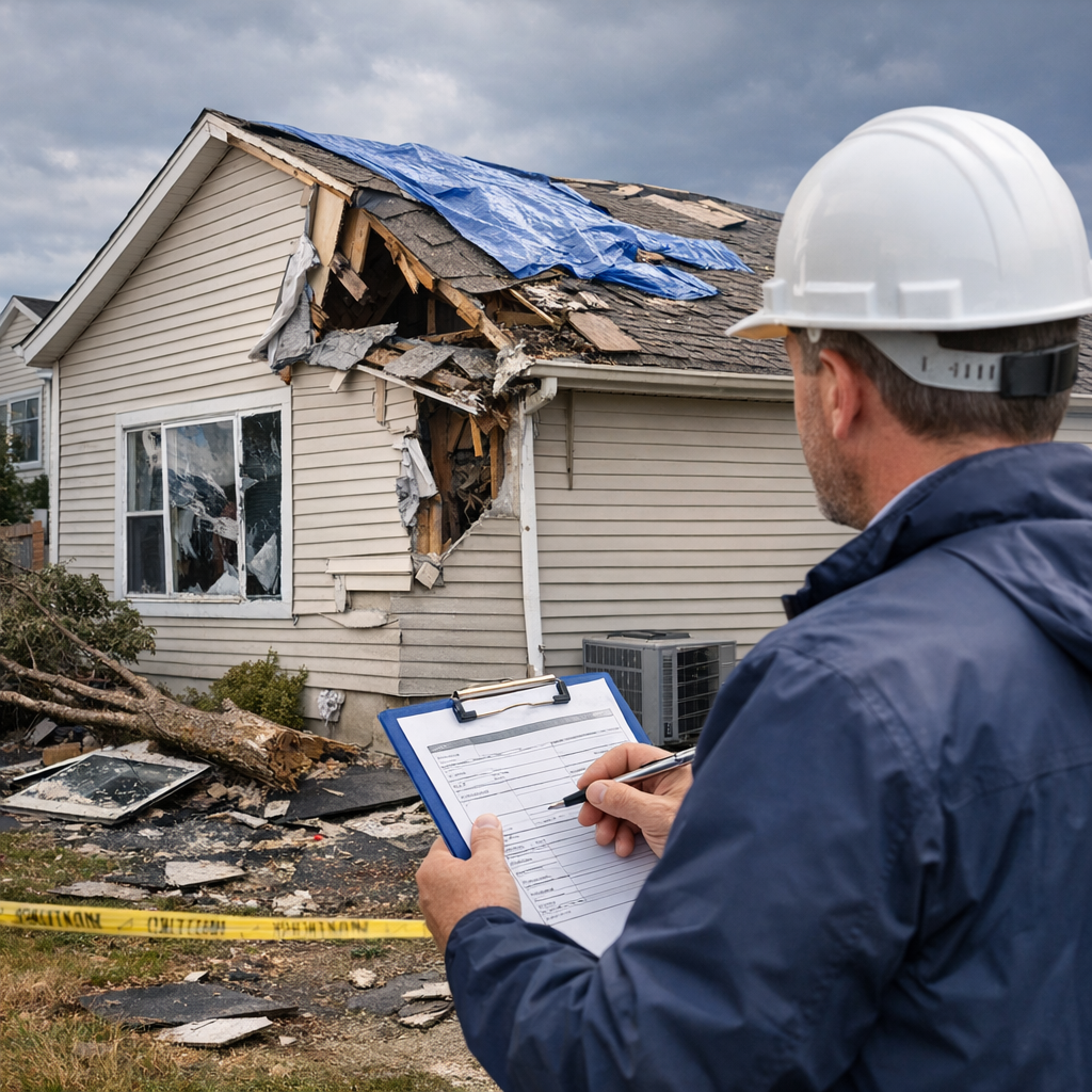
Insurance
Claims documentation, damage assessment, and inspections.