
Our Services
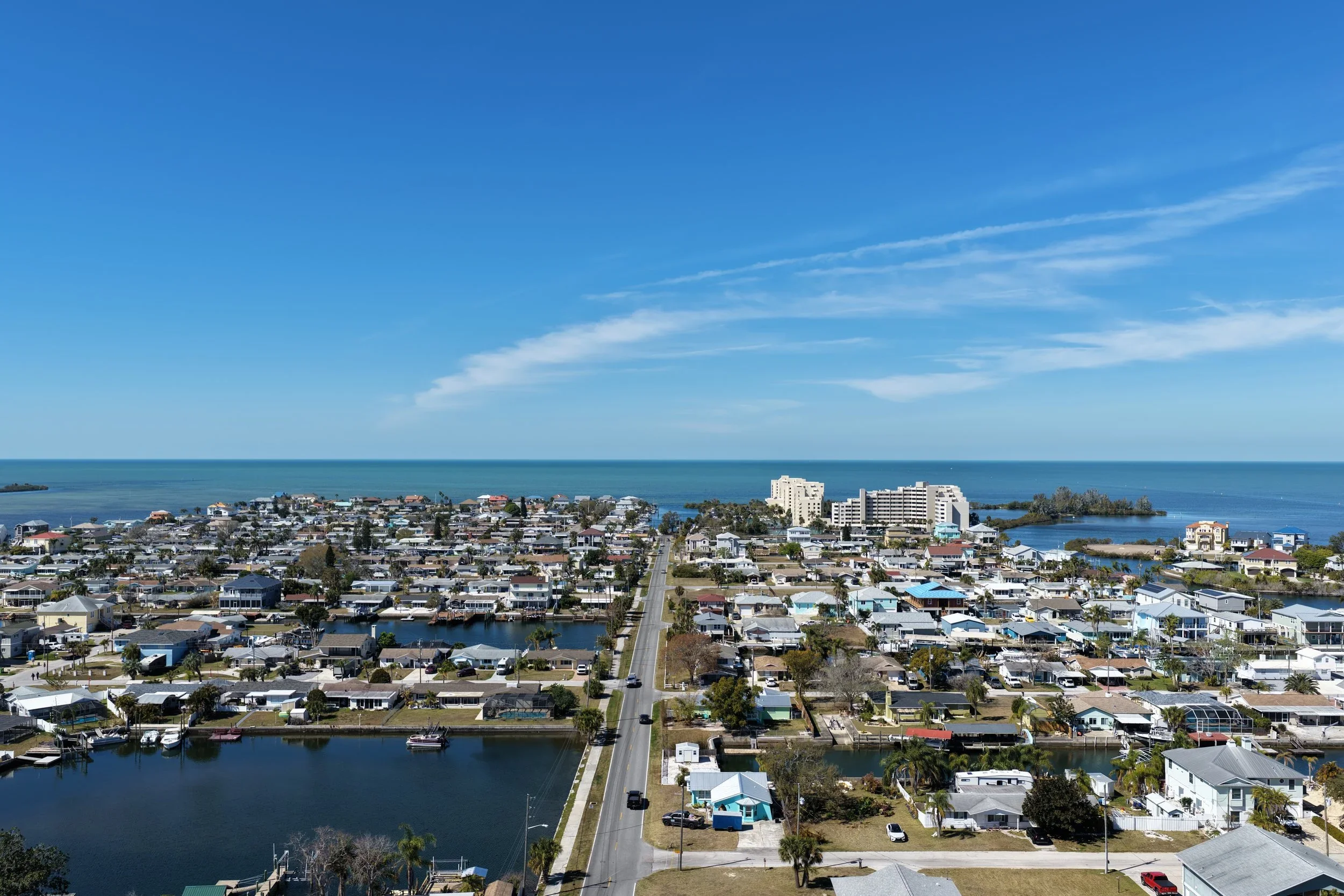
Aerial Photography
High‑resolution imagery for real estate and marketing.
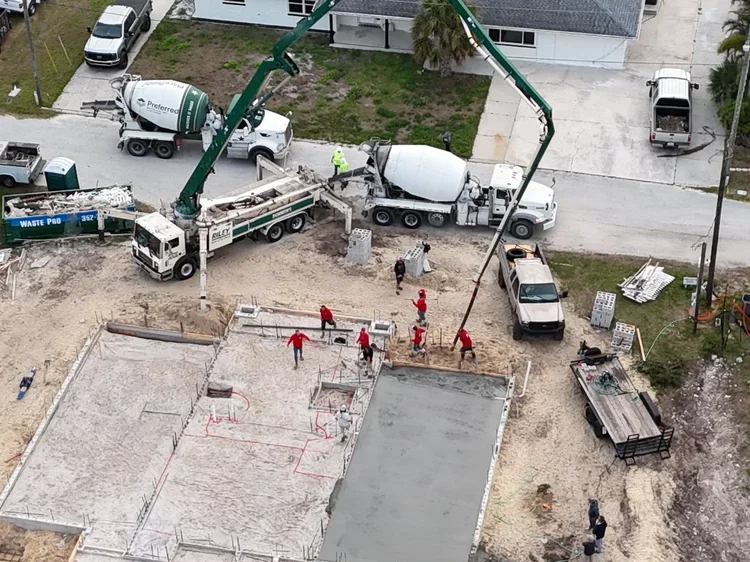
Construction Mapping
Orthomosaic imagess, 3D models, and site progression.
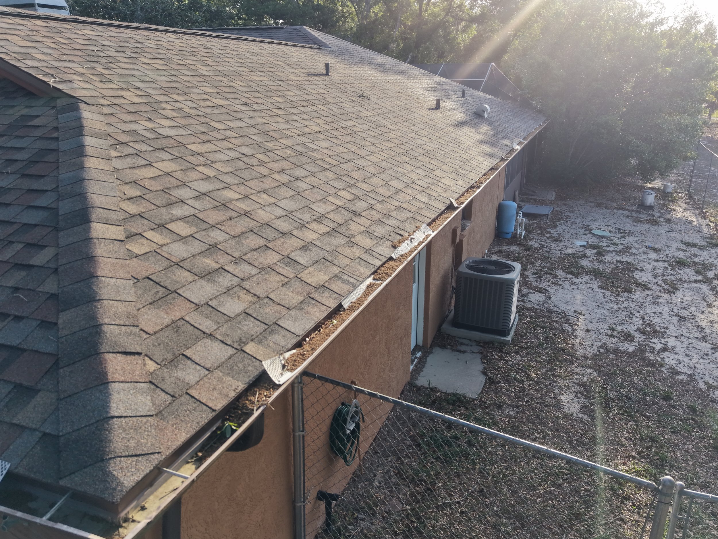
Inspections
Roof, utilities, and infrastructure inspections.
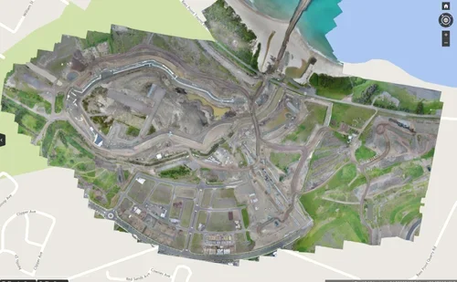
Advanced Data Capture
LiDAR, thermal, multispectral, and geospatial data.
Aerial Photography — starting at $99.00
Our FAA Certified Pilots capture stunning aerial photos for use by our clients. From Real Estate to Construction and Mapping, our technologies capture high‑resolution, quality photos. Contact us today to find out what Florida Aerial Imaging can do for you or your business from an aerial perspective.
Intermediate Service — Starting at $149
Florida Aerial Imaging, LLC specializes in construction photography. We can produce Orthomosaic Photos, Maps, Volume Measurements, Construction Progression photos and videos, and more! Contact us today to talk about your project and get a quote for imaging.
Advanced Services — Starting at $199
We offer advanced mapping, 3D Modeling, inspections of utilities and infrastructure, and more. Contact us today to discuss your project and needs and learn more about what Florida Aerial Imaging can do for you to streamline your workflow and provide high‑resolution deliverables.